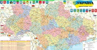
Explore the depths of Ukraine's geography with the Карта України app, a comprehensive mapping tool designed to enhance your understanding of the country's landscape. This interactive platform's main purpose is to provide in-depth geographic information, covering cities, villages, and the intricacies of Ukraine's administrative and political divisions. Users benefit from a wide range of features that offer detailed perspectives of the region, such as topographical representations highlighting peaks, rivers, lakes, and the intricate network of roads within the country.
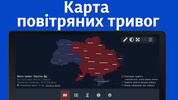
A user-friendly interface allows intuitive gesture controls, including a two-finger slide or pinch to zoom, ensuring a seamless and interactive experience as viewers delve into various maps. The collection includes an air alarms map, sirens of Ukraine, maps of each Ukrainian region from the Autonomous Republic of Crimea to the bustling capital of Kyiv, and even Sevastopol, as well as a road map and a physical depiction of the entire country.
Additionally, specialized maps like the Carpathians and those depicting the decentralization efforts within Ukraine provide unique insights. Crucially, this is a free resource, with all maps conveniently available online.
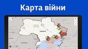
With recent updates, detailed maps of all Ukrainian regions have been integrated for an enriched exploration. Comprehensive coverage and current insights enhance the understanding and appreciation of Ukraine's rich geographical canvas. Users have resources at their disposal to explore the war in Ukraine or celebrate victories, ensuring they are well-informed on significant happenings within the nation's borders.
Whether for educational purposes, planning travels, or simply satisfying curiosity, Карта України offers an invaluable window into the rich tapestry of Ukraine's geography and infrastructure.
Requirements (Latest version)
- Android 5.0 or higher required


Comments
There are no opinions about Карта України yet. Be the first! Comment